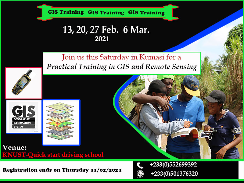
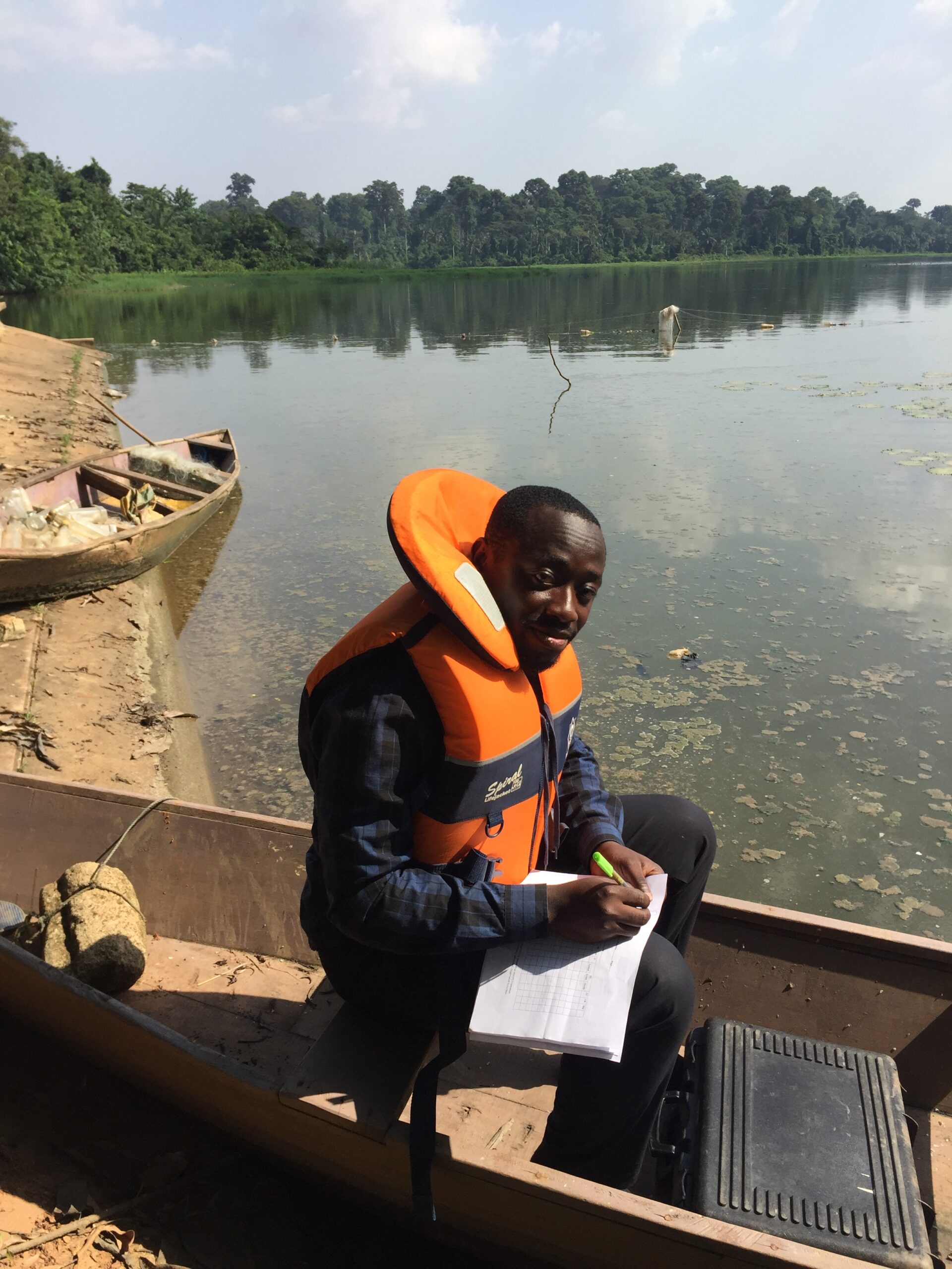
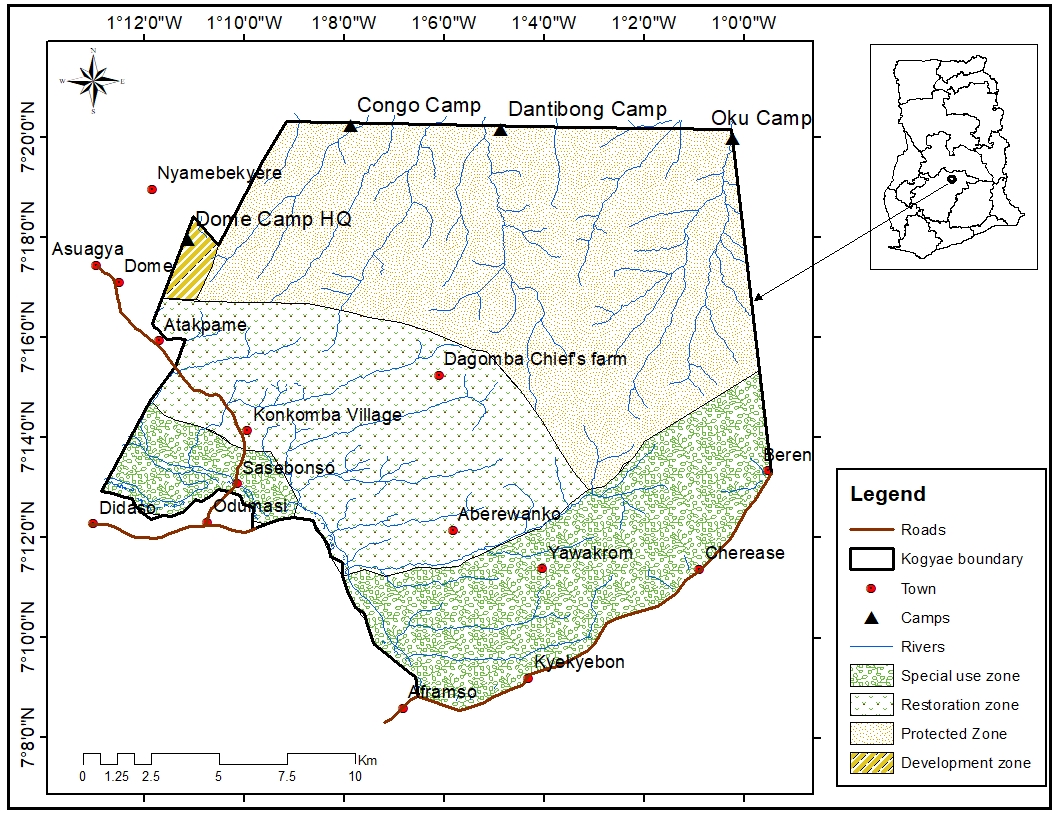
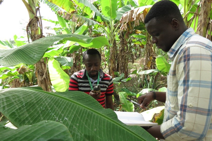
WildSpecies Foundation uses Geographic Information System (GIS) and Remote Sensing tools to complement researches in climate change and species distribution studies in relation to changes in their environment. We provide assistance to students and early career professionals in biodiversity conservation. We collaborate with universities and other NGOs to train students in basic GIS and Remote Sensing, GPS handling techniques, geographic data analysis and map making.